Tree survey 2020: The Roslin Moat
I spent the last two Saturdays counting trees for the Roslin Moat 2020 Tree Survey. Hundreds and hundreds of trees. It was not only a fun way to spend a couple of days, but it was also educational. And any time I can combine those two things, I am a happy Frances!
I learned about the tree survey from the Friends of the Roslin Moat Facebook group. The Moat is a little over a mile from my cottage and I pass through the site regularly, so when they asked for volunteers to help with the count, I immediately sent an email noting my interest. Then I recruited my friend, Laurence, to join me for the socially distanced activity. (I thought of him when I volunteered, feeling confident that it was just the kind of geeky activity he would enjoy. And I was right!)
We were charged with surveying Zone E1. This section runs along the full length of the outer paved path (northwest side of the site) and is bound by a footpath on the other side. The zone is quite large and much of it is very densely wooded making it challenging to pinpoint trees on a map within the zone. Indeed, I wonder if it would have been best split into two or three zones. But this is how the site was divided and the aim was to represent our zone proudly!
A few days before we started the survey, Laurence came by after work so that we could undertake a quick reconnaissance mission. That way, we would know how best to tackle the actual survey. We quickly realised that we would have to divide up the zone and that it would take more than one day. But we embraced the challenge!
On the first day of the survey, we walked to the far end of the zone so that we could work forward. Along the way, we counted the fence posts (there were 94). These would be used as an anchor point to create sections within the larger zone. To do this, Laurence went along the fence counting posts whilst I walked parallel to him on the footpath. Once we decided which post would mark a section, I used Google Maps to “drop a pin” to create a line between the fence post and the path. This way, we can look at Zone E1 on a map with each section marked off. (Note: We ended up with 12 sections.)
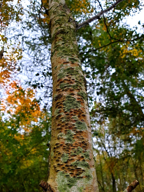
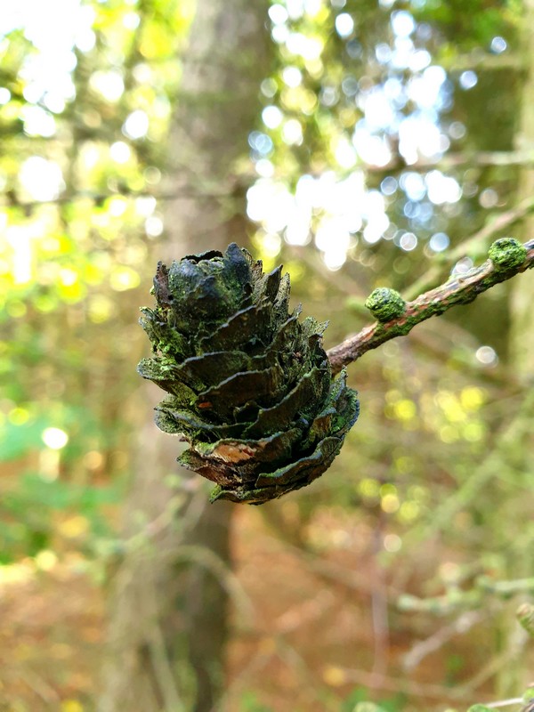
We marked off sections as we went, rather than marking the full zone all at once, and after a section was marked, we began the surveying process. The first couple of sections were our “learning curve” whilst we fell into a good working pattern. Basically, I carried the clipboard to record our findings whilst Laurence counted the trees. He did one species at a time, then reported the number of trees and their height, age, and general condition. Whilst I waited for his tree tallies, I surveyed the ground. This included doing a survey of bushes (roses, broom, brambles, etc) and looking for fungus. I also inspected “interesting” bits of nature, often taking photos for the Friends (and for my own use, of course!).
We managed to complete nearly half of Zone E1 on the first day and finished with time to spare on our second day (yesterday) which meant we were able to enjoy a walk through the trees surrounding my cottage, too. We had more ground to cover on the second day of our survey, but by then we had a good system that meant we were able to get straight to work. Although I think that, in hindsight, a better system would have included lots of rope and ribbons to really mark off sections and to provide for better mapping. But hey, we’re lay-volunteers, not professional dendrologists!

I decided against taking rubbish bags to the site for the survey as I didn’t know how many I would need (thankfully, not many!) and I didn’t want to be carrying rubbish whilst counting trees. Instead, I will head back out to the site in the next week or so specifically to collect the various bottles and such that have been left behind – likely through a combination of teenagers partying in the woods and people mindlessly dropping things on their visits (intentionally or otherwise). I estimate that it will take a couple of hours to collect it all for the rubbish and recycling bins.
Oh! And if you’re wondering how many trees we counted, here are some figures:
- Total countable trees: 944*
- Alder: 154
- Ash: 15
- Birch: 307
- Cherry: 13
- Hawthorn: 14
- Larch: 174
- Poplar: 165
- Sycamore: 62
There were a few other species included in the 944 countable trees and there were many, many, many, many uncounted “clusters” of seedlings and rows of roses and broom along the fence line that would have been difficult to count individually due to the nature of those bits of nature! We also catalogued a wide selection of fungus, moss, lichen, and other such wonders (some of which are in the photo gallery below).
The Roslin Moat: A brief history
The Roslin Moat spent much of the 20th Century as a colliery and brickworks. Owned by the Shotts Iron Company, coal production began with the sinking of two shafts between 1901-1903 and the Roslin Brick Works opened in 1937. In 1947, the National Coal Board took over the site. They ran both the colliery and the brickworks until 1969 when the mines closed. From there, the Scottish Brick Corporation took over the brickworks until its closure at the end of December 1977.
At its peak, the site employed 770 workers with an average of 750 workers over the lifetime of the site. Its peak coal production came in 1952, although the only year I could find yields for is 1948 when the output was 777 tons per day and 194,250 tons per annum. The brickworks produced about 40,000 bricks per day. The red-hued bricks were used to build air-raid shelters throughout World War 2 and were stamped with “ROSLIN” or “NCB ROSLIN” depending on when they were produced. (I am forever on the hunt for an unbroken brick to take home to my Mum, so if you know of any…)
After the closure of the brickworks, the buildings were demolished, the bing heap was removed (or a slag pile as we’d call it back home), and the site was levelled. Then in 1990, the outer parameters of the site were planted with native trees and shrubs allowing the centre of the site to gradually re-seed over time. Since then, paths have been added around and through the site and information boards have been placed at two of the primary access points.
Thirty years since that first planting took place, a lot has changed! And that’s where volunteers such as my friend and I come into the picture: Whilst nature can generally take care of herself, it’s best to have stewards keep an eye on things (especially when some humans don’t take care of nature as they should).
The primary purpose of this activity is to assess the site to determine its health and the levels of growth that it has experienced. This should help to identify areas that need human intervention, be that felling trees, removing invasive species, or encouraging growth in certain areas of the nature reserve. I am hoping that I will be able to do more work in preserving this great bit of land. After all, it’s right on my doorstep and makes up part of several of my running routes. It benefits me (and the rest of society) to see that this place thrives!
Below is a selection of photos from the tree survey. There are many, many more that I will send to the Friends of the Roslin Moat, including dead trees or other things that might be of interest to someone who’s caring for a woodland, but that don’t make for a pretty photo album!
* A countable tree was either large enough to be counted on its own or one that was standing on its own. Small saplings in tight clusters were marked as clusters rather than counted individually.