Revisiting the ghosts of Wellington, Washington
I first explored Wellington, Washington, with Daddy during our 2024 summer road trip. This time, I returned for a full-day hike along the Iron Goat Trail – a 13.80-mile trek that spanned just over five hours and offered no shortage of photo-worthy moments.
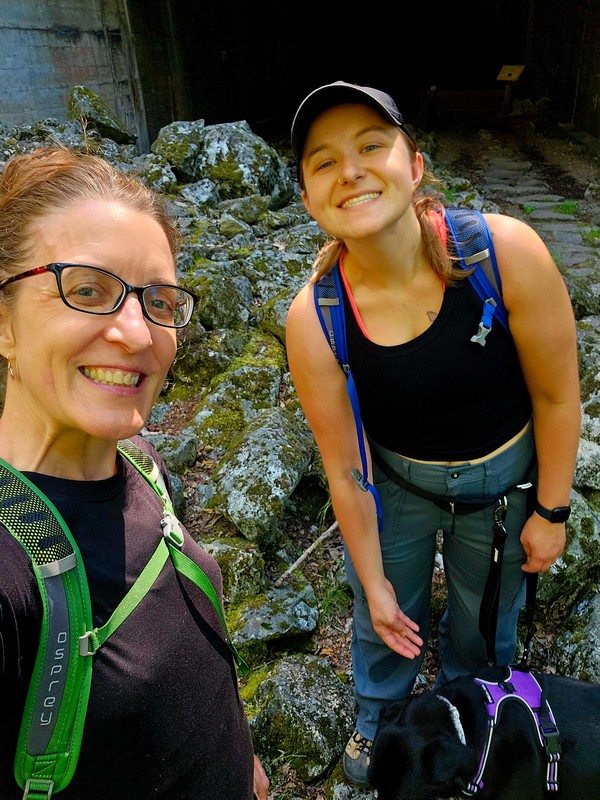
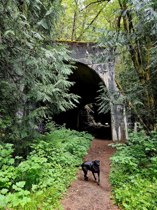
The plan came together effortlessly. My niece Krystyne was interested from the get-go, and I was grateful she had the time despite the short(ish) notice in the middle of summer break. The trail is dog-friendly, so her six-year-old black lab, Vala, joined us for the journey.
Since we were arriving from opposite directions, we opted for a two-car setup – one parked at each trailhead. We both hit the road a little after 5 am and met at the Wellington trailhead around 7. From there, I hopped into Krystyne’s car, and we headed together to the Martin Creek trailhead to begin our hike.
Find your way to the trails with these Google map links:
Martin Creek trailhead: https://maps.app.goo.gl/2XgVrysz9Tcnzm3U7
Midway trailhead: https://maps.app.goo.gl/SSgZ4ihUPhtBjb4Y9
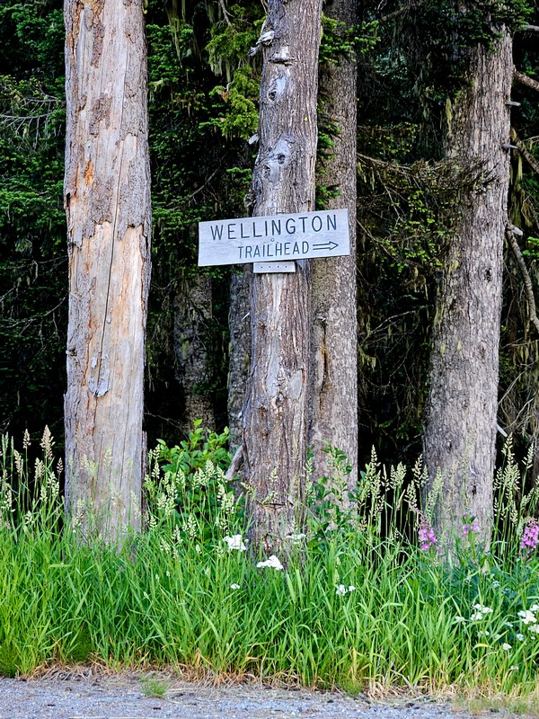
Wellington tailhead: https://maps.app.goo.gl/T8dYjp6eYHvMHYa79
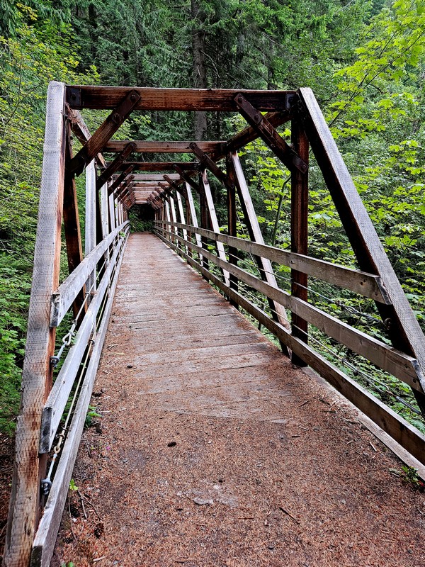
We kicked off our hike from the Martin Creek trailhead, setting out around 7.30 to beat the day’s heat. The first stretch followed the lower trail, an ADA-accessible path that offered a smooth, easy walk. To add a bit of cardio, we deliberately chose this route so we’d climb to the upper trail via the switchbacks at the mid-point. That section was the most challenging part – but even then, it just meant slowing our pace.
Both the Martin Creek and Wellington trailheads offer gentle starts, with portions that are ADA-friendly. The full trail is well-suited for dogs and kids, as long as pups are leashed and little legs are ready for some mileage. There aren’t formal picnic areas or benches along the way, but the trail provides plenty of inviting spots to pause, rest, and enjoy a snack.
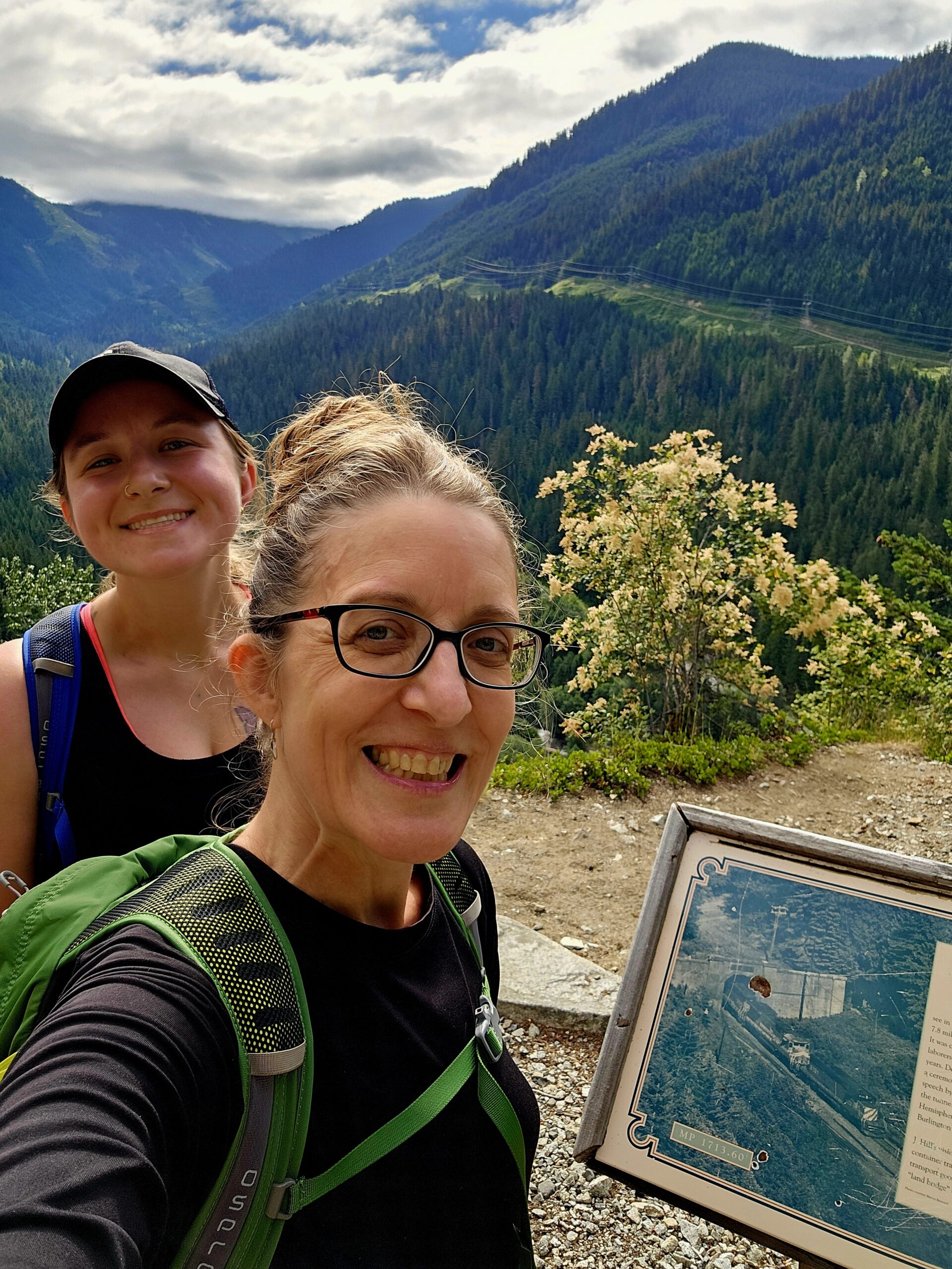
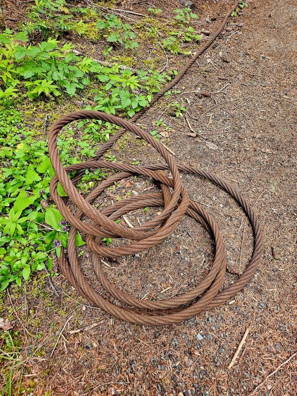
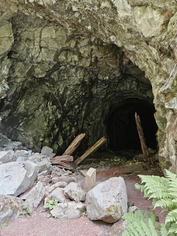
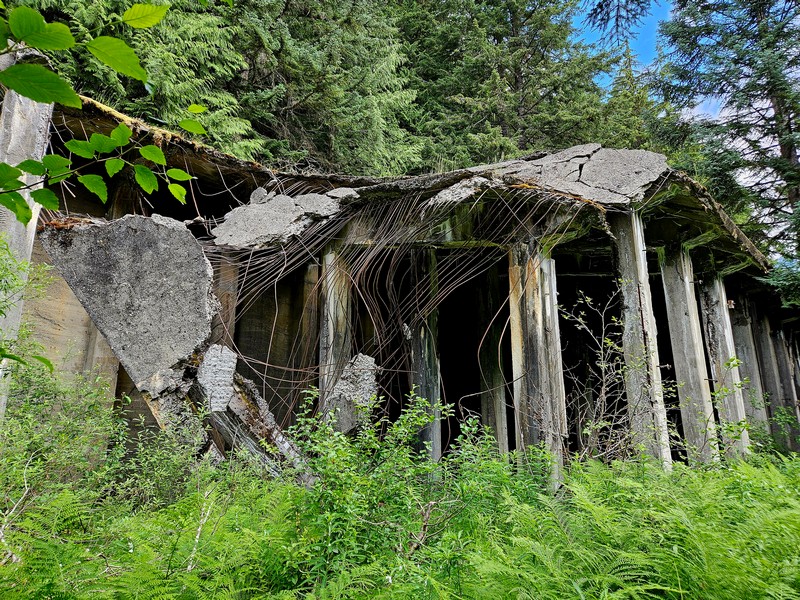
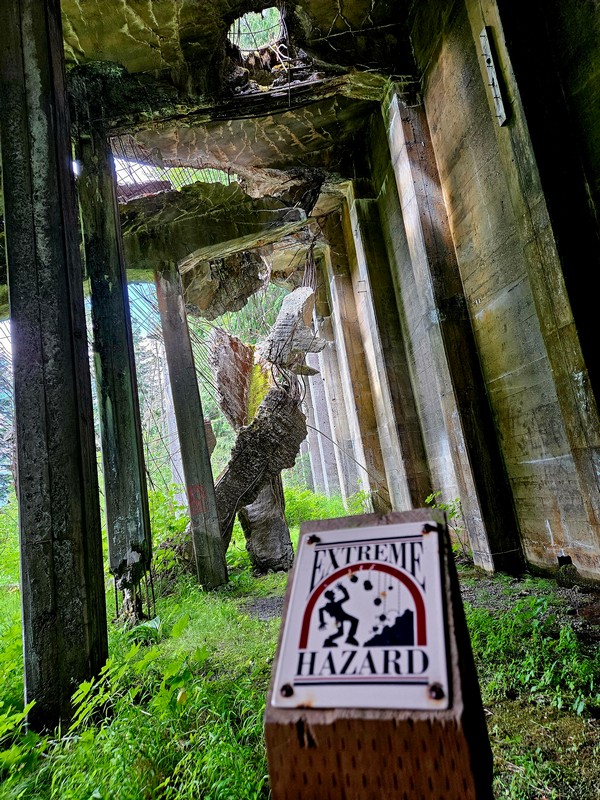
Scattered along the route are remnants of the old railroad – mostly tunnels, and occasionally a few stray bits of rail-era evidence. The highlight for many hikers is the massive snow shed near Wellington and the nearby site of a tragic avalanche. Informational signs are posted throughout the trail, offering historical context and insights into the area’s past.

I really loved the walk – and the time spent with Krystyne. I think we both came away realising we’re stronger than we give ourselves credit for. The hike felt surprisingly easy, and we maintained a solid pace throughout. Maybe that’s a good omen for our long-talked-about 2027 West Highland Way trek in Scotland. (This time, no castle-bagging tagalongs – we’re keeping it strictly for the walkers!)
Sharing the trail with another person was meaningful, although I’m reminded how few people truly “adventure” the way I do. That usually means fewer stops for photos and less time to dig deep into the history and surroundings. And while that might limit the storytelling potential, it did keep us moving – averaging 22-minute miles. So, it’s all trade-offs, really. And I am happy to have trade-offs if it means an amazing adventure with people I love!
Below are several photos from the day’s hike. You can see even more photos from the Wellington end of the route on my blog from last summer’s visit with Daddy.


Discover more from Just Frances
Subscribe to get the latest posts sent to your email.